The Sauerland
Forested hills, reservoirs and peaceful half-timbered villages southeast of the Ruhr area — the Sauerland is North Rhine-Westphalia's hiking and water country.
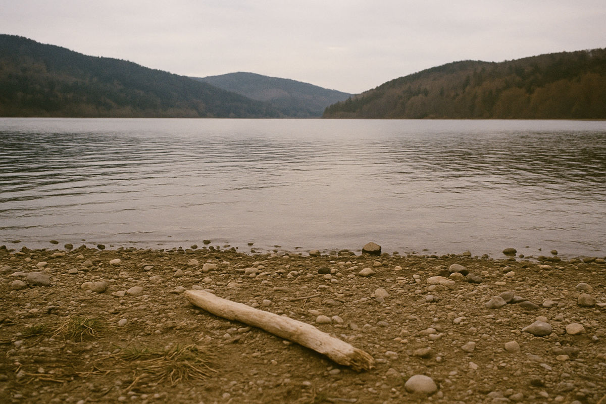 AI-generated illustrative image
The Sauerland is a low mountain range region in the southeast of North Rhine-Westphalia, characterized by forested ridges, deep valleys, and large reservoirs such as Möhnesee, Sorpesee, and Biggesee. Around Kahler Asten, at 841 meters one of the highest mountains in the region, lie the winter sports resorts around Winterberg; in summer, the Rothaarsteig and the lakes are among the most popular destinations. Between Hagen in the west and Brilon in the east, half-timbered towns, caves such as the Atta-Höhle, and extensive forests alternate.
What you ought to see — my picks.
Möhnesee
The reservoir known as "Westfälisches Meer" on the northern edge of the Sauerland — sailing, cycling path around the water and the famous dam wall.
Kahler Asten
At 841 meters, one of the highest mountains in North Rhine-Westphalia; the observation platform at the Astenturm offers views across half of the Sauerland on clear days.
Biggesee
Large reservoir near Attendorn with passenger boat service, swimming coves and circular hiking trails — the summer classic in the southern Sauerland region.
Atta Cave
One of Germany's largest stalactite caves, right in the heart of Attendorn — the region's reliable rainy day destination.
Rothaar Trail
The Kammweg across the heights from Brilon to Dillenburg can be hiked in daily stages; access points include Winterberg and Schmallenberg, among others.
Sorpesee
Peaceful reservoir lake near Sundern with waterfront promenade and water sports — easily combinable with tours in the Arnsberg area.